Do you know how to spot a seabird colony?
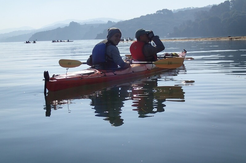
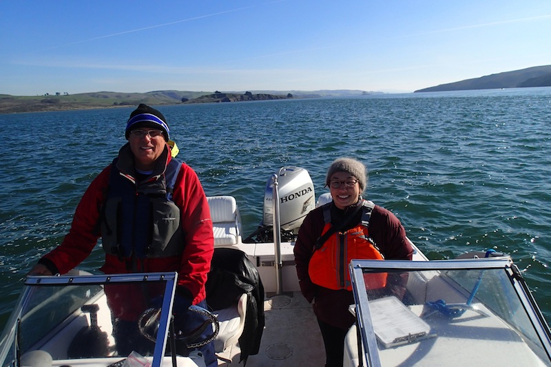
Every time you’re near the ocean in California, birds are all around. Seabirds hang out in colonies of dozens, hundreds or even thousands of birds. They come back to these colonies year after year. When boaters recognize these places and keep 1000 feet away from them, seabirds benefit by having the space they need to lay eggs, raise chicks, and rest. Since they like to come back to the same places on our coast, we can tell you more about how to find them. You can use your maps to spot certain colonies protected by special closures. We’ll also teach you a trick for spotting other colonies: looking for white rocks with birds on them.
Seabird Colonies on the Map: Special Closures
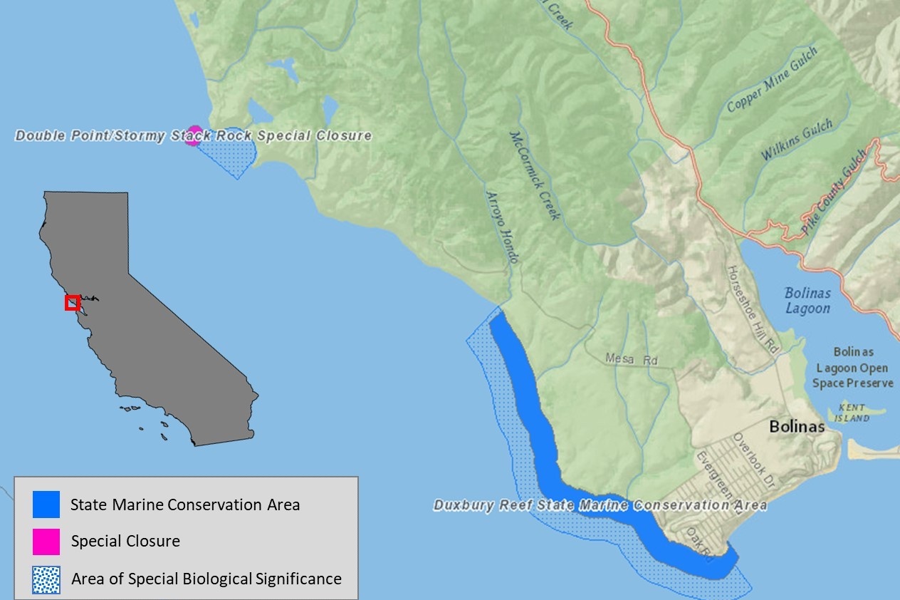
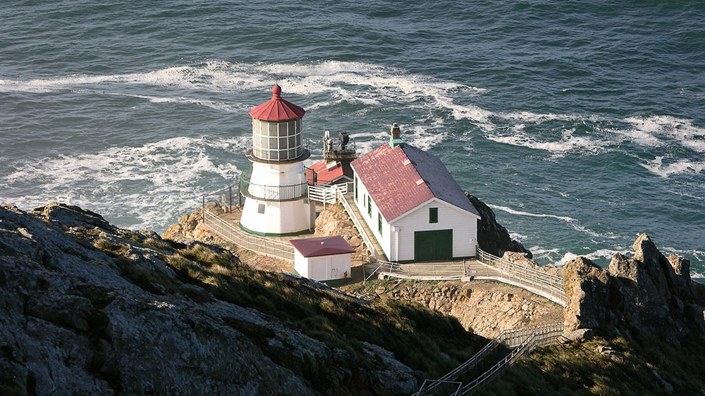
Double Point/Stormy Stack Rock Special Closure
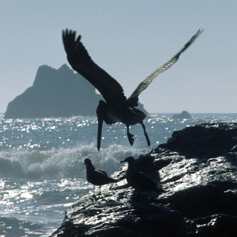
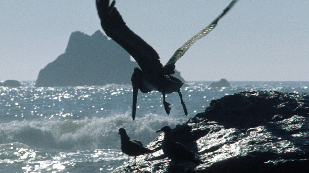
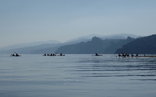
This image shows a seabird colony from 1000' away - note the bright white rock and nesting birds. Double Point/Stormy Stack Rock Special Closure is located just north of Duxbury Reef State Marine Conservation Area in Marin County. All watercraft are required to keep 300' away from this rock.
Special Closures:Seabird Colonies on the Map
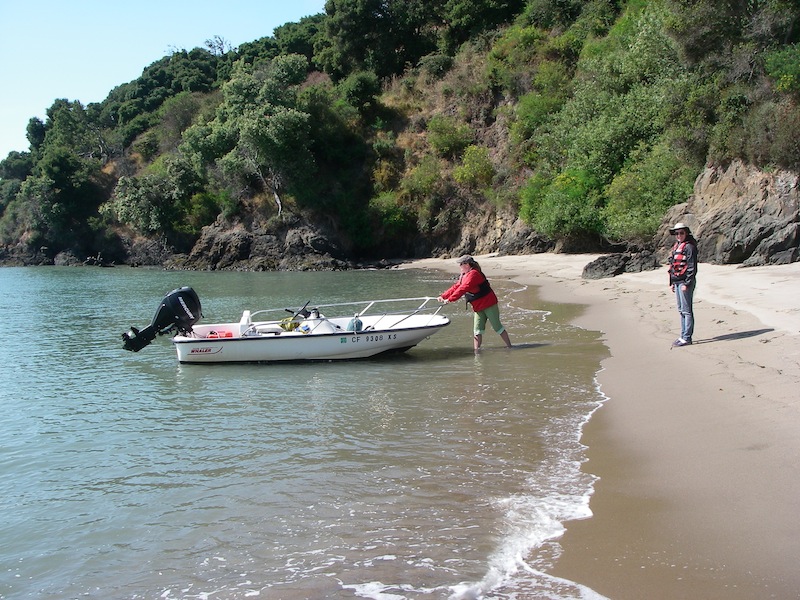
Special closures - like Stormy Stack (above) are no-go zones for boaters. Navionics and maps will show you the 14 special closures from the Oregon border to the Channel Islands, with five in the Bay Area covering colonies at Point Reyes, the Farallon Islands, and Devil's Slide Rock. Special closures were designed to protect California’s largest and most sensitive seabird colonies. By keeping a safe distance from these special closures - which prohibit all human access - boaters have helped reduced disturbance, allowing seabirds to thrive. Seabird Protection Network offers waterproof, pocket sized wildlife ID guides that contain detailed maps of each special closure. We also have Monterey and San Francisco Bay tidebooks. Contact us to request these products free of charge.
Request Materials
Double Point/Stormy Stack Special Closure
Navionics contain maps of all of California’s special closures. If you prefer printed materials, Seabird Protection Network offers free wildlife ID guides and tidebooks with maps of these areas.
Tricks for Spotting Seabird Colonies:White Rocks
Watch Out for White Rocks
Not all seabird colonies will show up on maps or navionics. However, seabirds always leave their mark. By looking for white rocks, you can easily identify seabird colonies. Sometimes, large groups of birds will be stationary as they rest on a rock. Other times, birds will be flying around the rock and landing. Please keep 1000’ from seabird colonies at all times to avoid causing a disturbance. If birds start to flap their wings or fly away, you're too close. Rocks present a navigational hazard, and many boaters choose to avoid them. Some kayakers or fishermen like to get close to the rocks. If you’re doing that, make sure to avoid the white rocks - they are places where seabirds like to rest and breed.
California Department of Fish & Wildlife MPA Resources
The Department of Fish and Wildlife has created materials and maps for all of the state's marine protected areas, including each of the 14 special closures: six each in Northern and North Central California, and two at the Channel Islands.
Northern California MPAs
Includes 20 MPAs and 6 special closures from the California/Oregon border to Alder Creek near Point Arena.
Learn More
North Central California MPAs
Includes 25 MPAs and 6 special closures between Alder Creek near Point Arena and Pigeon Point.
Learn More
Southern California MPAs
Includes 50 MPAs and 2 special closures between Point Conception and the Mexican border, including offshore islands.
Learn More
Neque porro quisquam est, qui dolorem ipsum quia dolor sit amet, consectetur, adipisci velit, sed quia non numquam eius modi tempora incidunt ut labore et dolore magnam aliquam quaerat voluptatem.
Rem aperiam, eaque ipsa quae ab illo inventore veritatis.
Rem aperiam, eaque ipsa quae ab illo inventore veritatis.
Rem aperiam, eaque ipsa quae ab illo inventore veritatis.
Partner with us, and learn to protect the places where seabirds breed when you're up in the air, or out on the water.
SIGN UP FOR OUR NEWSLETTER